Error loading page.
Try refreshing the page. If that doesn't work, there may be a network issue, and you can use our self test page to see what's preventing the page from loading.
Learn more about possible network issues or contact support for more help.

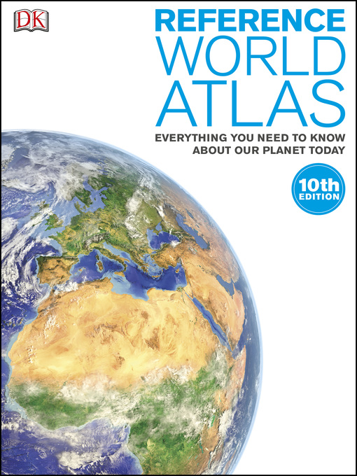
Reference World Atlas

by DK
ebook

Welcome all you globetrotters! Take the ultimate round-the-world trip with this spectacular atlas for children, showcasing more than 640 maps and a wealth of information about every nation on Earth.

Travel across the world from the British Isles to Australasia with Reference World Atlas to learn about our diverse planet. The introduction section provides an insight into how our physical world took shape and life emerged across the planet. Take a look at world climate and population trend, and then follow the continent-by-continent guide to expand your understanding of each region or country. Along with detailed physical and political maps, Reference World Atlas also contains terrain models, cross-sections, and cultural and economic information.

This book features huge 3-D maps and more than 750 photographs that showcase some of the most jaw-dropping locations on our planet. With more than 80,000 index entries, this revised 10th edition of Reference World Atlas is an essential educational tool for homes and schools.

Expand title description text
Publisher: DK Publishing

OverDrive Read

  • ISBN: 9781465458735
  • Release date: October 10, 2013

PDF ebook

  • ISBN: 9781465458735
  • File size: 152762 KB
  • Release date: October 10, 2013

Formats

OverDrive Read
PDF ebook

Languages

English

Welcome all you globetrotters! Take the ultimate round-the-world trip with this spectacular atlas for children, showcasing more than 640 maps and a wealth of information about every nation on Earth.

Travel across the world from the British Isles to Australasia with Reference World Atlas to learn about our diverse planet. The introduction section provides an insight into how our physical world took shape and life emerged across the planet. Take a look at world climate and population trend, and then follow the continent-by-continent guide to expand your understanding of each region or country. Along with detailed physical and political maps, Reference World Atlas also contains terrain models, cross-sections, and cultural and economic information.

This book features huge 3-D maps and more than 750 photographs that showcase some of the most jaw-dropping locations on our planet. With more than 80,000 index entries, this revised 10th edition of Reference World Atlas is an essential educational tool for homes and schools.


Expand title description text